

PROJECT
COMPONENTS
LOWER NZOIA
IN NUMBERS
The Lower Nzoia Irrigation Project spans 5,554 hectares across 14 blocks in Siaya and Busia Counties, with a net irrigation area of 4,077 Ha that has assisted in delivering reliable, year-round water access to thousands of smallholder farmers while the rehabilitated Bunyala Irrigation Scheme (200 Ha, plus 500 Ha expansion) brings new land into productive use. Together, these numbers tell a story not just of infrastructure, but of transformed lives.
50,000
Livelihoods touched indirectly
Indirect beneficiaries from agri-economy ripple effects among traders, processors, and service providers.
12,600
Families fed
directly
2,100 smallholder households lifted through year-round irrigation across Siaya and Busia Counties.
8,000
Jobs created seasonally
Seasonal farm workers engaged, generating income and sustaining local agricultural labour markets.
50%
Women leading farming
Half of all farmers on
the scheme are women, anchoring gender equity at the heart of the
project.
Irrigation
Infrastructure
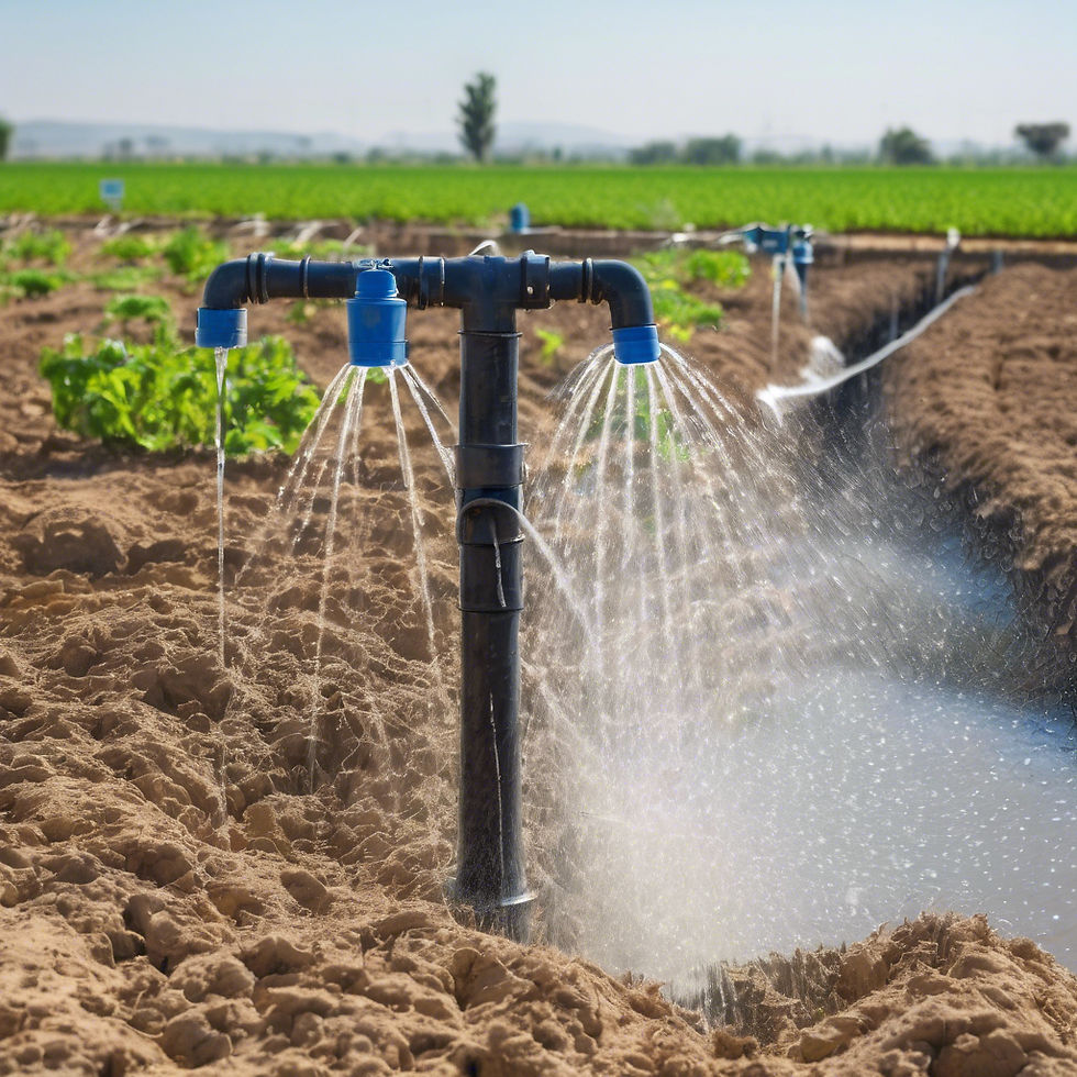
The project successfully completed key civil works, including irrigation infrastructure, access roads, and water control structures to support agricultural productivity..
Diversion Wier
Fully Complete
Main Canal
All sections including lining and drainage are complete
Other Canal
Tertiary canals and Feeder canals construction ongoing
Bunyala Scheme
Rehabilitation fully completed


FLOOD MITIGATION STRUCTURES
Communities along the Lower Nzoia River have experienced significant livelihood losses due to recurring floods. To address this, the project has strengthened 34 kilometers of existing flood mitigation structures (dykes), providing protection to over 66,000 people and surrounding farmland.
Achievements:
-
Rehabilitated and upgraded of 34 km of dykes along the River Nzoia to control floods
-
66,700 people, agricultural land and property are now protected from seasonal floods
-
Improved community safety and resilience in flood-prone areas
These efforts have significantly reduced flood-related risks, contributing to long-term climate resilience and sustainable agricultural productivity across the region.
WATERSHED MANAGEMENT
This initiative focuses on conserving natural resources and strengthening community resilience through integrated watershed management.
Key activities included:
-
Riparian land marking and restoration
-
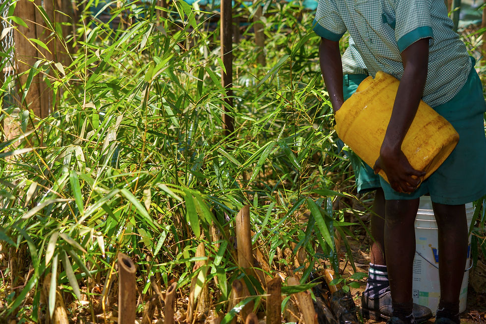
Tree and bamboo planting to support ecosystem rehabilitation
-
Implementation of soil and water conservation practices
-
Support for community-led livelihoods such as beekeeping, poultry, fish farming, and dairy farming
These activities were implemented in close collaboration with local Water Resource Users Associations (WRUAs) and community-based organizations (CBOs), ensuring sustainability and strong community ownership. The Water Resources Authority (WRA) has developed six national water basin plans to guide equitable and sustainable water allocation and trained staff on basin-wide water management and upgraded the flood forecasting and early warning system in the Nzoia Basin, enabling real-time monitoring and data transmission to the Kenya Meteorological Department.
![Lower Nzoia - Floods]_edited.jpg](https://static.wixstatic.com/media/ed39f7_fc95deed0c0a4ddfb31a6d1c7aba0d69~mv2.jpg/v1/crop/x_151,y_0,w_442,h_408/fill/w_442,h_408,al_c,q_80,enc_avif,quality_auto/Lower%20Nzoia%20-%20Floods%5D_edited.jpg)


_JPG.jpg)

Upgrading the Nzoia Flood Forecasting AND Early Warning System
The project has enhanced the flood forecasting and early warning system in the Nzoia Basin to keep communities safer through timely, accurate alerts that reduce risk, protect lives, and support safer evacuations.
The system offers:
-
Faster alerts
-
Expanded monitoring coverage
-
Improved communication with local communities
